
About the Design Code
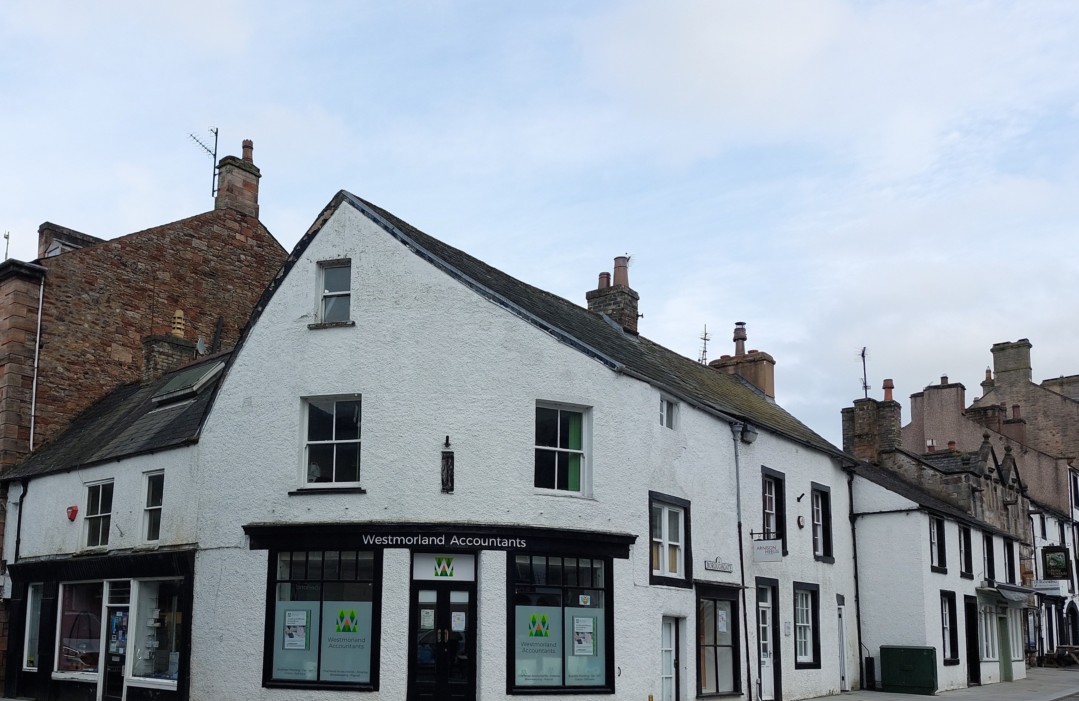
Alongside the Local Plan process, Westmorland and Furness are also developing a Design Code. Design codes use rules and guidance to set a vision for design in an area and to help be clearer about design expectations. A design code can give details on building materials, street design, or for places with historic buildings to protect local character. They also help with custom and self-build projects and allow for new building methods without stopping innovation. This means that the design code should be detailed without being too rigid and should respect the diversity of towns, villages and rural areas in Westmorland and Furness.
The UK Government expects all local authorities to create a design code for their areas. Westmorland and Furness have started the process to create one for the whole council area (excluding those parts within the Lake District and Yorkshire Dales National Parks).
The information provided by a design code helps developers and builders know what is acceptable so they can submit better planning applications. For larger projects that might be developed over many years and several planning applications, design codes can also help to keep things consistent over time.
There are 10 characteristics identified in UK guidance on design codes. The Westmorland and Furness Design code will be specific to the area but will start by considering these 10 characteristics:
• Context – Does a development enhance the surroundings?• Identity – Is it attractive and distinctive?
• Built form – Does the development form a sensible pattern of buildings/roads etc?
• Movement – is it accessible and easy to move around?
• Nature – Is nature enhanced and optimised?
• Public spaces – Are they safe, social and inclusive?
• Uses – Are there different uses, e.g. houses and shops, mixed and integrated together?
• Homes and buildings – Are they functional, healthy and sustainable?
• Resources – Are resources being used efficiently?
• Lifespan – Is the development made to last?
When making design codes, it's important to involve the community to understand what they like. Community engagement during the process helps to make sure the design code reflects local views and preferences.
Share your views
Cycle lane proposal
This is an example activity for demonstration purposes only. This site is operated by Delib Ltd and submitted responses will be discarded. We have been working hard to tranform our transport system into a more efficient and safer network for citizens, while also contributing to a reduction in pollution levels. Previous research has indicated that citizens often don't feel safe cycling around Arlen Hill due to high levels of congestion and very few designated cycle routes, we aim to...
Project phases
Baseline and listening phase (summer 2024)

The project team are busy researching the area, looking at things like history and heritage, recent developments, and local best practice. We’re also keen to hear from you to shape the design code, but also to share local knowledge. The project team will use the information to draft the Westmorland and Furness Design Code.
Community feedback (early 2025)
Once drafted we’ll create further opportunities for members of the public and Westmorland and Furness communities to share their views. This will be fed back to the project team to consider when finalising the draft.
Council adoption (spring 2025)

The final step is to present the Westmorland and Furness Design Code to Elected Members (local councillors) for approval and adoption.
About Westmorland and Furness Council
You may already be familiar, but Westmorland and Furness Council was created in 2023. It is made up of the former Barrow, South Lakeland and Eden Councils and part of the former Cumbria County Council.
Westmorland and Furness Council provides all local government services including as planning, housing, highways, education, social care, waste collection and recycling. It is England’s third largest unitary council covering an area of 3,754 sq. km which extends from Alston and Penrith in the north to Barrow-in-Furness and Walney island in the southwest.
The design code covers the Westmorland and Furness council area excluding those parts within the Lake District and Yorkshire Dales National Parks.
This is an interactive map.
The page contains a map of Westmorland and Furness. The map shows the areas that are covered by Westmorland and Furness council.
Closed consultations and engagement
Climate emergency strategy - Stage 1
This is an example activity to demonstrate how "We Asked, You Said, We Did" will look when an activity is closed.